
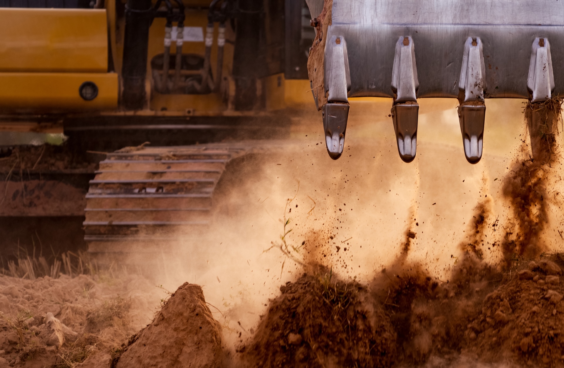
Modern excavator GPS systems have transformed earthmoving, helping operators dig faster, reduce rework, and improve precision. But one question comes up regularly:
“How accurate is excavator GPS, and what affects performance?”
The answer is that accuracy can range from extremely precise to noticeably inconsistent depending on the setup, site conditions, and technology being used.
Here’s what actually impacts excavator GPS accuracy and what operators should know.
How Excavator GPS Actually Works
An excavator GPS system combines positioning technology with machine sensors to show the operator exactly where the bucket is in relation to the design model.
It Typically Uses:
- GNSS satellites
- Base stations or correction networks
- Machine sensors
- In-cab displays
- Digital site models
The system constantly calculates position and depth in real time.
This helps operators:
- Dig to grade faster
- Reduce staking requirements
- Minimise overcutting
Why Accuracy Matters
Small inaccuracies can create big downstream problems.
Poor Accuracy Can Lead To:
- Over excavation
- Under excavation
- Rework costs
- Delays to project timelines
- Material wastage
For fine grading or trench work, precision becomes especially important.
1. GNSS Correction Method
One of the biggest influences on accuracy is correction data.
RTK (Real-Time Kinematic)
Often considered the gold standard for excavator GPS accuracy.
Benefits:
- Centimetre-level precision
- Highly accurate positioning
- Ideal for detailed excavation work
RTK systems usually rely on:
- Local base stations
OR - Network corrections
Without Correction Signals:
Accuracy drops significantly.
2. Satellite Visibility
Excavator GPS systems rely on clear satellite signals.
Accuracy Can Drop In:
- Dense urban areas
- Deep trenches
- Near tall buildings
- Heavy tree cover
- Steep terrain
This is called signal obstruction.
Less satellite visibility often means reduced positioning reliability.
3. Number and Quality of Satellites
More satellites generally improve positioning performance.
Modern GNSS Systems Often Use:
- GPS
- GLONASS
- Galileo
- BeiDou
Why Multi-Constellation Matters:
More satellites improve:
- Stability
- Accuracy
- Reliability in difficult environments
High-end systems typically perform better in challenging conditions.
4. Base Station Placement
For RTK systems using local base stations:
Placement matters.
Poor Base Station Positioning Can Cause:
- Reduced correction quality
- Signal interruptions
- Inconsistent accuracy
Proper setup is critical.
5. Machine Sensor Calibration
GPS alone doesn’t control bucket accuracy.
Excavators rely heavily on:
Sensors Measuring:
- Boom position
- Stick angle
- Bucket position
- Machine orientation
Poor Calibration Can Cause:
- Incorrect depth readings
- Inaccurate grading
- Position errors
Regular calibration matters more than many operators realise.
6. Bucket Wear and Attachments
Physical wear affects accuracy too.
Example:
Worn bucket edges can slightly alter dig precision.
Changing attachments without recalibration may also affect performance.
Important:
Different buckets may require:
- Offset adjustments
- Recalibration
Especially for precise excavation work.
7. Site Conditions
Ground conditions can influence machine positioning.
Challenging Conditions Include:
- Uneven terrain
- Machine instability
- Muddy or soft ground
Even slight movement or tilt affects excavation precision.
Many systems compensate for slope and tilt, but limitations still exist.
8. Model Accuracy
The machine can only dig as accurately as the design model provided.
Common Problems:
- Incorrect site files
- Design version errors
- Wrong surface data
Sometimes GPS “errors” are actually model problems.
9. Operator Experience
Even advanced excavator GPS systems still rely on skilled operators.
Experienced operators generally:
- Understand system limitations
- Recognise inaccurate readings
- Make smarter adjustments
GPS improves efficiency, but operator skill still matters.
10. Hardware Quality
Not all systems perform equally.
Better Systems Typically Offer:
- Stronger GNSS receivers
- Better sensor quality
- Faster processing
- Improved signal handling
Higher-quality systems often perform better in difficult environments.
How Accurate Is Excavator GPS?
With quality RTK correction and proper calibration:
Accuracy Often Reaches:
Centimetre-level precision
But performance varies depending on:
- Site conditions
- Signal quality
- Calibration
- Equipment quality
The best results come from optimising all factors together.
Final Thoughts
The accuracy of an excavator GPS system depends on far more than satellites alone. Correction signals, calibration, machine sensors, site conditions, and operator experience all play major roles in performance.
When properly configured, modern GPS systems can deliver highly accurate results that reduce rework, improve productivity, and help operators work faster with greater confidence.